Snow, sleet, freezing rain, gusty winds — winter bears down today
MIDCOAST — The storm that no one really knew what was going dish out has arrived today, Sunday, Feb. 16, with the National Weather Service upgrading its advisory from a storm watch to storm warning.
In good fashion, Mainers double-downed with their preparations Saturday, cleaning bananas and produce from the shelves, and stacking up on the chips, filling the bird feeders and grabbing bags of salt and sand from the hardware stores.
On many menus, "soup" is the word.
The newly arrived robins, as well as resident chickadees and crows are finding refuge in the trees. The chipmunks and squirrels have already raided what they could from bird feeders and are hunkered down into their holes. Sea gulls are scavenging the local roads, hoping to land a stray pizza crust or french fries tossed out of a passing vehicle. The ducks are finding open patches in the rivers and brooks to wait out the weather.
As one person noted, "We are having a real winter" — something not experienced in several years, maybe more. We see that in the thinning piles of stacked firewood.
As another grumbled, "March can be snowier."
That's great for the Camden Snow Bowl, which is at the height of the season, and with February school vacation this week. The entire mountain is open, with glades and trails that often are closed to lack of snow, ready for skiers and boarders.
The snow pack is deep, up past the knees, and the ice on the driveways and sidewalks: Be careful. Lots of people have been calling the ambulance after slipping and falling.
It is not bound to warm up for another week (maybe longer....), according to the long range forecast.
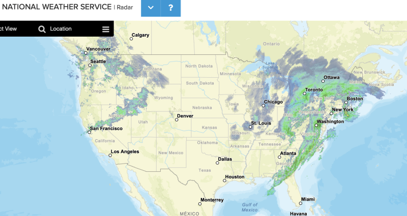
The National Weather Service is calling for snow and sleet today before 2 p.m., then sleet between 2 and 3 p.m., then freezing rain and sleet after 3 p.m. All with a high near 30 degrees F, and an east wind of 15 to 20 mph.
"Snow transitions to a wintry mix today as low pressure moves through New England," the NWS said. "Cold high pressure builds in behind the departing storm early this week with very strong gusty winds, especially on Monday. Another storm system is then possible later in the week."
Chance of precipitation is 100%. Total daytime ice accumulation of 0.1 to 0.2 of an inch possible. Total daytime snow and sleet accumulation of 3 to 5 inches possible.
We will watch the power outages of Central Maine Power, which can be tracked here.
"The coastal front can be seen sitting just offshore, with east- southeast winds at the Isle of Shoals, and northeast winds along the coastline," the NWS said. "The front likely makes it just onshore across the NH Seacoast, the beaches of southern Maine, and into the MidCoast. The exact placement of the front remains important, serving as the focus for a narrow area of freezing rain this afternoon and evening. A second focus area is expected across southern New Hampshire, especially into the Monadnocks, where a deeper layer of warm air aloft reaches."
Tonight: Freezing rain and sleet before 11 p.m., then a chance of snow between 11 p.m. and 4 a.m. Low around 19. Breezy, with an east wind 10 to 20 mph becoming west after midnight. Winds could gust as high as 35 mph. Chance of precipitation is 90%. New ice accumulation of 0.1 to 0.3 of an inch possible. New snow and sleet accumulation of less than a half inch possible.
Monday, Washington's Birthday: Mostly sunny, with a high near 20. Wind chill values as low as zero. Breezy, with a west wind 15 to 20 mph, with gusts as high as 40 mph.
Monday Night: Partly cloudy, with a low around 6. Wind chill values as low as -10. Breezy, with a west wind 15 to 20 mph, with gusts as high as 40 mph.
Tuesday: Mostly sunny, with a high near 18. West wind 10 to 15 mph, with gusts as high as 30 mph.
Tuesday Night: Partly cloudy, with a low around 5.
Wednesday: Sunny, with a high near 28.
Wednesday Night: Partly cloudy, with a low around 8.
Thursday: Partly sunny, with a high near 31.
Thursday Night: A 30 percent chance of snow showers before 1 a.m. Mostly cloudy, with a low around 15.
Friday: Mostly sunny, with a high near 31.
Friday Night: Mostly clear, with a low around 10.
Saturday: Sunny, with a high near 31.