Little earthquakes shake Richmond tonight. Did you feel it?
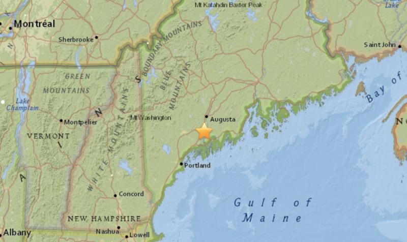
ICEBORO — The small village of Iceboro in the town of Richmond was the location of an earthquake this evening. Richmond, near Wiscasset, at 7:43 p.m. shuddered with an earthquake magnitude of 1.9 that originated at a depth of 3 to 6 kilometers.
Then, just 15 minutes later, another similarly sized quake shook a nearby, yet different spot in Richmond, according to the U.S. Geological Survey.
And, according to the USGS, Richmond also had a slightly larger earthquake on Jan. 17, of 2.6 magnitude. That joined approximately 30 other earthquakes happening on the same day around the world. (Over the last seven days there have been 275 earthquakes recorded around the ever-shaking globe).
The quakes occurred in a region known as the Richmond Quadrangle, which is associated with several minor fault lines, including the Eastern River fault.
Click here for the latest earthquake activity.
Earthquakes in New England
“People in New England, and in its geological extension southward through Long Island, have felt small earthquakes and suffered damage from infrequent larger ones since colonial times. Moderately damaging earthquakes strike somewhere in the region every few decades, and smaller earthquakes are felt roughly twice a year. The Boston area was damaged three times within 28 years in the middle 1700's, and New York City was damaged in 1737 and 1884. The largest known New England earthquakes occurred in 1638 (magnitude 6.5) in Vermont or New Hampshire, and in 1755 (magnitude 5.8) offshore from Cape Ann northeast of Boston. The Cape Ann earthquake caused severe damage to the Boston waterfront. The most recent New England earthquake to cause moderate damage occurred in 1940 (magnitude 5.6) in central New Hampshire.
“Earthquakes in the central and eastern U.S., although less frequent than in the western U.S., are typically felt over a much broader region. East of the Rockies, an earthquake can be felt over an area as much as ten times larger than a similar magnitude earthquake on the west coast. A magnitude 4.0 eastern U.S. earthquake typically can be felt at many places as far as 100 km (60 mi) from where it occurred, and it infrequently causes damage near its source. A magnitude 5.5 eastern U.S. earthquake usually can be felt as far as 500 km (300 mi) from where it occurred, and sometimes causes damage as far away as 40 km (25 mi).”
Faults
“Earthquakes everywhere occur on faults within bedrock, usually miles deep, although some New England earthquakes occur at shallower depths. Most of New England's and Long Island's bedrock was assembled as continents collided to form a supercontinent 500-300 million years ago, raising the northern Appalachian Mountains. The rest of the bedrock formed when the supercontinent rifted apart 200 million years ago to form what are now the northeastern U.S., the Atlantic Ocean, and Europe.
“At well-studied plate boundaries like the San Andreas fault system in California, often scientists can determine the name of the specific fault that is responsible for an earthquake. In contrast, east of the Rocky Mountains this is rarely the case. New England and Long Island are far from the nearest plate boundaries, which are in the center of the Atlantic Ocean and in the Caribbean Sea. New England is laced with known faults but numerous smaller or deeply buried faults remain undetected. Even the known faults are poorly located at the depths of most earthquakes. Accordingly, few, if any, earthquakes in New England can be linked to named faults. It is difficult to determine if a known fault is still active and could slip and cause an earthquake. As in most other areas east of the Rockies, the best guide to earthquake hazards in New England and Long Island is the earthquakes themselves.”