Bit of weather coming: Check your dinghies and skiffs
Rockport Harbor Master Abbie Leonard is advising boaters to haul their dinghies onto the grass and turn them over, given the threat of copious rain. In Camden, Harbor Master Steve Pixley wants dinghy owners to ensure that their boats are firmly secured. The wind may blow up to 25 mph out of the northeast, and there is a chance of three to four inches of rain to fall by late Wednesday.
Factor in astronomical high tides, and the water in Penobscot Bay harbors could rise quickly. With any accompanying storm surge, smaller boats could get swamped. The National Weather Service has issued a coastal flood watch for the Knox and Waldo counties from late Wednesday morning through Thursday afternoon,.
Tides will be running higher than average all week, given the full moon and the earth’s tilt, with tides peaking close to 11.6 feet Wednesday afternoon. The combination of a surge and high seas may create minor flooding.
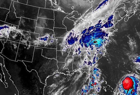
“The circulation between offshore high pressure and a slow-moving cold front will transport unseasonably warm and moist air into the air,” warned the National Weather Service.
“Many people have already come down and taken their dinghies out of the water,” said Pixley. “Some of them are moving the boats well out of the way of the Gulf Stream [aka, the Megunticook River outfall].”
The rain is expected to move in later this afternoon, and soak the region through Wednesday, Sept. 30.
Small rivers have the potential to reach bank-full by later in the day Wednesday, and drainage through the streets may be difficult.
The weather is courtesy of a cold front that is approaching from the northwest and is expected to slide offshore Wednesday.
As the rain heads into the Gulf of Maine, the temperatures will get cooler and drier, before the next rainstorm, which may arrive Friday and Saturday. That all depends on the track of a tropical storm.
And if you do haul the dinghy, make sure you put it back into the water, or take it home. Don’t leave it on grass too long.
The immediate forecast